How Orbitworks Is Expanding the UAE Commercial Space Sector
The UAE is building a commercial space industry around local satellite production and Earth observation services. Abu Dhabi-based Orbitworks is developing Altair, a planned constellation of 10 AI-enabled satellites. For businesses, the practical value lies in faster information for insurance, agriculture, infrastructure, maritime operations and environmental monitoring.
The UAE commercial space sector is shifting from headline-making missions to services that solve problems on the ground. Local satellite manufacturing now gives companies a closer route to Earth observation data for monitoring assets, assessing risk and responding to events.
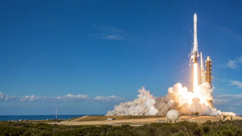
Orbitworks shows what that shift looks like in practice. The Abu Dhabi company manufactures commercial satellites at a facility in KEZAD and is developing Altair, a planned fleet of 10 AI-enabled Earth observation satellites. The point is not simply to place more hardware in orbit. It is to turn satellite images and sensor readings into information that businesses can use.
What Is Changing in the UAE Commercial Space Sector?
The UAE is adding private manufacturing and commercial data services to its government-led space programme. This broadens the sector from exploration and national missions into an industry that can serve paying customers.
In May 2026, the UAE announced an AED 1 billion International Space Co-operation Programme as part of this transition. The country is also developing the ability to design, assemble and test spacecraft locally instead of relying entirely on overseas suppliers.
For business readers, the change is straightforward. Space technology is becoming part of the UAE’s wider business innovation landscape, with practical uses in risk, logistics, food production and infrastructure management.
How Does the Orbitworks Satellite Model Work?
Orbitworks combines local satellite production, autonomous orbital systems, ground control and multiple sensors in one operating model. The company supports spacecraft design, payload integration, testing and launch preparation from Abu Dhabi.
Before launch, engineers assemble and test the satellites in controlled cleanroom conditions. Thorough testing matters because a fault is difficult to fix once a spacecraft reaches orbit. After launch, the satellites handle many routine tasks autonomously. Ground teams monitor spacecraft health, schedule imaging and respond to risks such as potential collisions or disruptive space weather.
The satellites can also use different sensing methods. Optical cameras capture detailed images when visibility is clear, while radar can collect useful data through cloud cover. Altair is designed to process information in orbit, helping users receive useful findings rather than waiting for large volumes of raw data to be sent back and analysed.
Who Is Orbitworks Earth Observation Data For?
Orbitworks data is relevant to organisations that need a current, wide-area view of land, infrastructure or maritime activity. Its likely users include insurers, agricultural companies, ports, infrastructure operators, investors and government agencies.
User
Problem to Solve
Practical Use
Insurers
Damage is spread across a large area
Compare images before and after an event to support claim reviews
Farms
Crop stress can be hard to spot early
Identify changes across fields and target inspections
Infrastructure operators
Ground movement may go unnoticed
Monitor sites and investigate unusual changes
Maritime teams
Vessel activity is difficult to track continuously
Monitor shipping lanes and flag unexpected movement
The technology does not replace people who understand the operation. It gives them a broader and more current evidence base for making decisions.
How Can UAE Businesses Start Using Satellite Intelligence?
Businesses should begin with one costly decision that better visibility could improve. Buying satellite data without a defined use case often leaves teams with impressive images but no change in day-to-day work.
Start by naming the decision. An insurer may need to prioritise field inspections after a storm. A port operator may need to review unusual vessel activity. An infrastructure team may want an early warning of changes around a remote site.
Next, define how recent and accurate the information must be. Then check whether the result can flow into the software and reporting routines staff already use. A short trial on one location is usually more useful than a broad purchase made before the workflow is clear.
Companies already following AI and intelligence in the UAE can treat satellite data as another operational input. The real benefit comes when it improves a decision, not when it sits in a separate dashboard.
What Should Buyers Check Before Choosing Satellite Data?
Buyers should compare coverage, revisit frequency, sensor type, delivery speed, accuracy, security and integration before signing a contract. A provider may have excellent imagery but still be a poor fit for a specific task.
Revisit frequency shows how often a satellite can observe the same location. Sensor choice matters too. Optical imagery may be enough for clear conditions, while radar is important when clouds regularly block the view. Buyers should also ask whether they will receive raw data, analysed findings or both.
Security and data control deserve equal attention, especially for critical infrastructure and government work. Orbitworks presents local manufacturing and operations as a sovereign capability, giving regional buyers an alternative procurement route for sensitive projects.
Why Does Local Satellite Manufacturing Matter to the UAE?
Local manufacturing gives the UAE greater control over a strategic supply chain while building skills and export capacity. It moves the country from buying space technology to producing and operating it.
That capability can support specialised engineering jobs, local research and partnerships with international companies that want a base in the region. It also fits a broader pattern of locally managed technology projects, including AI assistants for meteorology and Abu Dhabi’s autonomous vehicle control room.
For business leaders, the immediate lesson is not that every company needs satellite data. It is that Earth observation is becoming easier to source within the region. Companies with expensive assets, large operating areas or time-sensitive risks should now assess whether it can solve a problem better than their current tools.
Frequently Asked Questions About the UAE Commercial Space Sector
What is the UAE commercial space sector?
The UAE commercial space sector includes private companies that design, manufacture, operate or use space technology for commercial purposes. This includes satellites, Earth observation services and the software used to turn space-based data into business information.
How does Orbitworks manufacture satellites in Abu Dhabi?
Orbitworks assembles and tests commercial satellites at its KEZAD facility in Abu Dhabi. Its work covers design, payload integration, testing and preparation for launch.
What is the Altair satellite constellation?
Altair is Orbitworks’ planned constellation of 10 AI-enabled Earth observation satellites. It is designed to analyse information in orbit and support faster delivery of useful findings.
Who uses commercial satellite imagery in the UAE?
Insurers, farms, maritime operators, infrastructure teams, investors and government bodies can use commercial satellite imagery. Typical tasks include damage assessment, crop monitoring, vessel tracking and environmental observation.
What should a business ask before buying Earth observation data?
A business should ask how often the location is observed, which sensors are available, how quickly results arrive and how the data will enter its workflow. It should also confirm accuracy, licensing, security and data ownership.
With more than 15 years of experience in digital marketing, Abdul Raheem has helped businesses across different industries grow their online presence, increase visibility, and achieve measurable business goals. Abdul has been actively focused on evolving search technologies including GEO (Generative Engine Optimization), AEO (Answer Engine Optimization), AIO (AI Optimization), and AI driven search experiences.